History walk plans unveiled for Hiwassee River community

Saturday, May 14, 2011
 The Charleston City Park will be part of a plan unveiled Friday for a Hiwassee area historical interpretation project. A visitors center would be located in an empty bank building. The pedestrian trail would follow an original section of U.S. 11, listed on the National Register of Historic Places, through town, linking with the Fort Cass area, the U.S. government's command post for the Trail of Tears, the Cypress swamp, a unique environmental feature for Tennessee and the river where Civil War actions took place.
CHARLESTON, Tenn. - Community members here were introduced Friday to plans for a pedestrian trail that will intersect with key points of American and local history.
"The past can be part of your future," Dr. Carroll Van West, director of the Historic Preservation Center at Middle Tennessee State University, told the crowd that filled the First Baptist Church fellowship hall. "You have to know that past. You have to cherish that past, and you have to share that past."
The interpretative trail would begin at a visitors information center that now is an empty bank branch building at the intersection of U.S. Highway 11 and its predecessor, the concrete highway, now listed on the U.S. Register of Historic Places.
Melissa Woody, visitor and convention center vice president with the Cleveland/Bradley Chamber of Commerce, and Faye Callaway, president of the Charleston/Calhoun/Hiwassee Historical Society, said Regions Bank has made an undisclosed offer for the building.
Emily Crow, a planner with the consulting firm McBride/Dale/Clarion, which developed Bradley County's 2035 Strategic Plan, put the trail plan together. It primarily involves Tennessee Valley Authority and U.S. Army Corps of Engineers land, along with a small space of city property and two privately owned properties.
"You have the story that shaped America," West told the group.
Charleston's story, however, has been mostly overlooked, he said.
The visitors center would be operated by history students from Lee University and Cleveland State Community College as part of their community service hours. Charleston would pay the utility bill in return for use of the building as a meeting place, officials said.
The trail would follow the concrete highway, a forerunner of today's paved highways, through the Fort Cass area. Fort Cass, a 20-acre network of barracks and stockades, was the U.S. Army's command center for the Trail of Tears during the removal of the Cherokee Indians. It also would pass Civil War scenes, including the Henegar House where Gen. William Tecumseh Sherman and other notables spent time on their way to Chattanooga and Atlanta.
The trail would pass beside Charleston's bald cypress swamp, a scene mostly hidden by brush but resembling a Louisiana bayou more than a Tennessee creek.
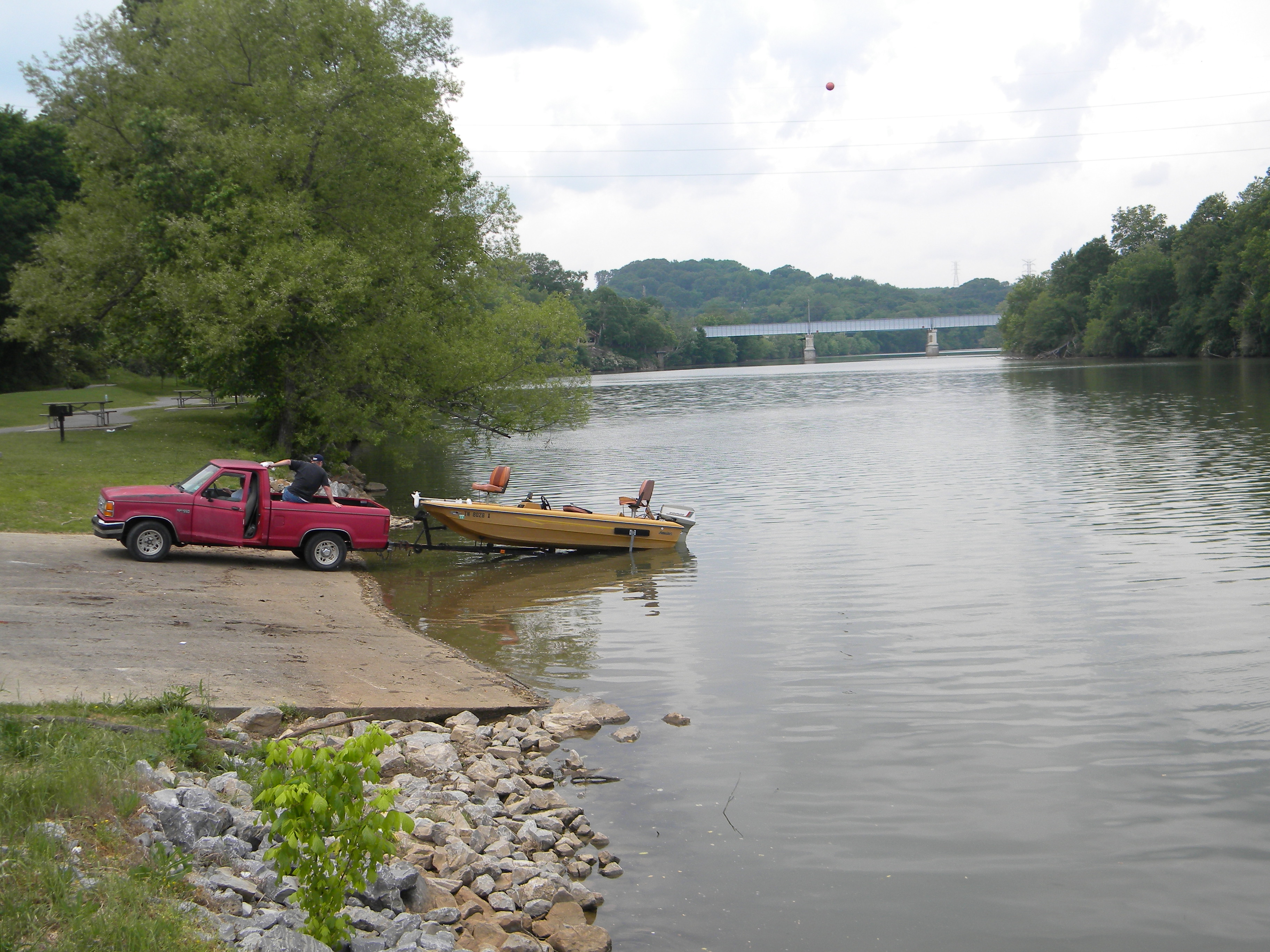
The trail would end at Charleston's riverside boat dock on the Hiwassee River, scene of American Indian settlements long before Europeans arrived and the Civil War struggle for a railroad bridge that was a choke point between Richmond, Va., and the Deep South. Early in American history, the river marked the national boundary between the United States and the Cherokee Nation. Crossing the river, Woody said, required a passport.
In all, Crow said, there are, or will be, 22 historical markers and monuments along the less than two-mile trail.
"It is an ambitious project," Woody said.
Another plus, they said, is that the site will be less than three miles off Interstate 75.