Wet weather: Record levels of rain falling across Chattanooga region

Wednesday, August 14, 2013
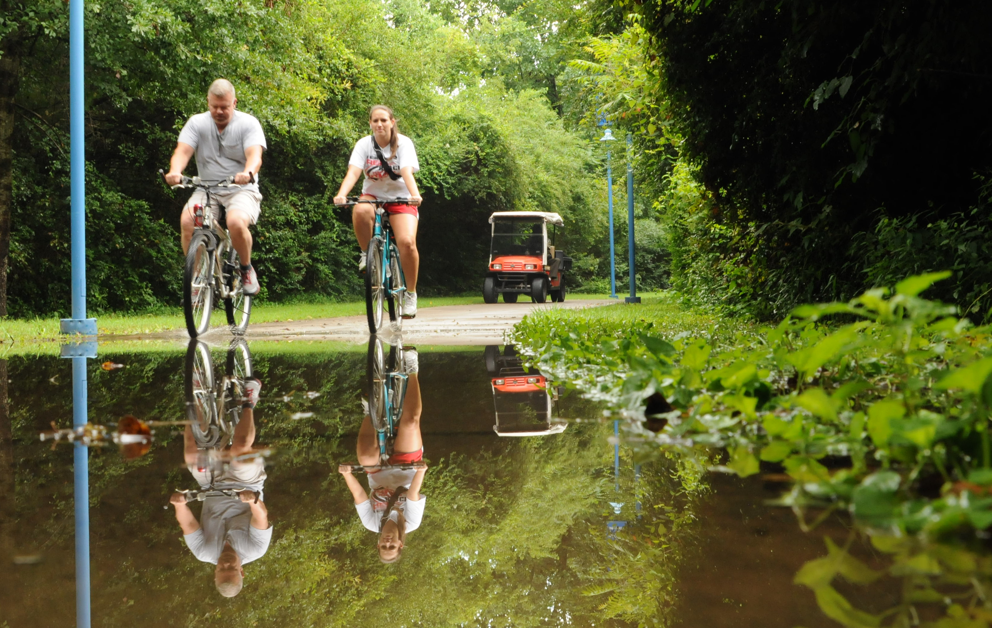 Darrin Webb and Carol Ann Moss pass through standing water left by Tuesday morning's rain on the Riverwalk near Amnicola Highway at the marsh. Park Ranger Ron McGee waits in his cart and watches the fording.
BY THE NUMBERS• Jan. 1-Aug. 12 average: 33.25 inches (based on 30-year averages)• Year to date: 51.88 inches (18.63 inches above average)• Last year Jan. 1-Aug. 12: 30.37 inches (nearly three inches below average)• Average annual rainfall Jan. 1 - Dec. 31: 52.48 inches• Average month of August rainfall for Chattanooga: 3.48 inches• Rainfall from Aug. 1-Aug. 12 this year: 4.25 inchesWETTEST YEARSWettest years of all-time, Jan. 1-Aug. 12 in Chattanooga:• 1. 1994, 54 inches.• 2. 2013• 3. 1920• 4. 1929• 5. 1884NEW RECORDS• New Aug. 11 daily rainfall record: Monday, Aug. 11, 2013 (1.93 inches)• Old Aug. 11 daily rainfall record: Aug. 11, 1972 (1.89 inches)• Chickamauga Dam Reservoir: Midnight, Aug. 12: 683.1 feet above sea level; top of dam is 685.44 feet above sea level; this time last year, around 682.6 above sea level• Chickamauga Dam average hourly discharge: 47, 520 cubic feet per second at 1 p.m., Aug. 13, 2013Sources: The National Weather Service and WRCB's Paul Barys
It hasn't rained this much since President Bill Clinton's first term. And beyond that, finding a year with this much rain from Jan. 1 through Aug. 12 goes back. Way back.
Derek Eisentrout, meteorologist at the National Weather Service's Morristown, Tenn., location, said this year has seen unusual jet stream positioning, causing wet weather to sit over the southeast United States.
WRCB's Chief Meteorologist Paul Barys said Tuesday that there's a chance the rain may decrease as fall -- Chattanooga's driest season -- comes around in September. But he expects the month to be warmer with more rain than usual.
In the meantime, the tri-state area is less than 1 inch from exceeding its average annual rainfall total for the year, with more than four months still to go.
In Chattanooga, rainfall totals are collected at Chattanooga Metropolitan Airport. NWS meteorologists said Tuesday that the geography of a city can result in some areas getting more rain than others. Large bodies of water, for instance, send more moisture into the air, and more rain can result.
"The pattern's been a pretty wet one this year," Eisentrout said. "I am led to believe this pattern will persist. The fall is usually our drier months."
"There is no normal. You have to remember that," Barys said. "Normal is a man-made thing. The jet stream is the ruling factor in all weather patterns."
WHY ALL THE RAIN?
• Jet stream: the jet stream is in an unusual position, causing more rain and low-pressure systems. It is settled in southern region of the U.S. The jet stream is usually very north at this time of year.
• Moisture: Because the ground and air are so moist, a system that would produce a little rainfall in an average summer produces a lot of rain for us now.
• Forecast: August temperatures are expected to remain below normal. August precipitation is expected to remain above normal.
• Three-month Weather Service outlook: Temperatures will be around normal. It will wetter than usual and the rainy pattern will move into the fall.