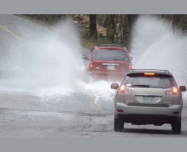
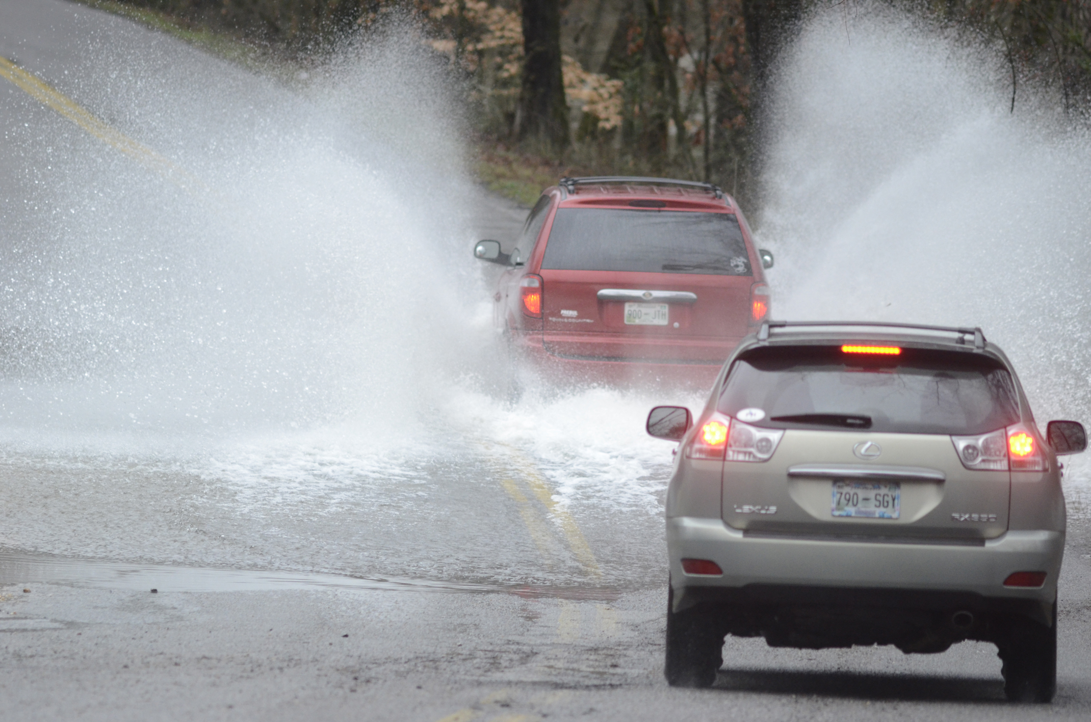
 Vehicles drive through standing water Tuesday morning on Boy Scout Road as North Chickamauga Creek overflows its banks due to heavy rains.
School Times
Several school systems will open later today or are closed because of flooded roads and high water. Schools in other districts are expected to make similar announcements this morning.• Bledsoe County - Closed• Boyd-Buchanan - Two-hour delay• Catoosa County - Two-hour delay• Chattooga County - Three-hour delay• Chickamauga City - Opening at 9:30• Dade - Two-hour delay• Walker - Two-hour delay• Etowah City Schools - Closed• Hamilton County Schools- Two-hour delay. Child care will begin at the normal time.• Marion County - Closed• Grundy County - Closed• McMinn County - Closed• Meigs County - Closed• Notre Dame High School - Two-hour delay• Polk County - Closed• Rhea County - Two-hour delay• Sweetwater City - Closed• Richard Hardy School - Closed• St. Jude School - Two-hour delay• Silverdale Baptist: Two-hour delay• Tennessee Wesleyan College - Closed
Road Closings
Jackson CountyCounty Road 151 bridge is under waterCounty Road 359 before County Road 61County Road 177 at New Home ChurchCounty Road 31 at Pikeville StoreRhea CountyHighway 30Montgomery RoadHamilton CountyBoy Scout Road is barricadedGamble Road at Highway 58 is under waterIgou Ferry north of Sequoyah RoadSandswitch Road from Boyscout to city limits
Finally, the rain should stop today, but don't get too excited.
The precipitation should return Thursday. And in between, the flood conditions aren't going anywhere.
Rain will continue through the early part of this morning before slowing to a drizzle later this afternoon, WRCB-TV3 meteorologist Paul Barys said. But before the rain stops, water levels in streams and creeks will continue to rise, causing floods that can affect today's traffic routes and class schedules.
Meanwhile, some roads may be closed today because of flooding. On Tuesday, law enforcement officials and emergency responders ordered several roads to shut down, at least temporarily. That included Boy Scout Road, West 38th Street and Igou Ferry Road. And in Chattooga County, Ga., that included Lyerly Dam Road, which closed early in the afternoon and still had not opened as of Tuesday night.
Barys said the rain should be light by noon today, though clouds still will cover the sky. And on Thursday, more rain should arrive. If so, the area will mark the ninth straight day with rain.
"If you're looking at the whole kit and kaboodle, we're talking about 4 to 6 inches of rain," Barys said.
The National Weather Service's Morristown, Tenn., office announced that a flood watch in East Tennessee will remain in effect until noon today. The rain shouldn't be heavy, but its persistence will overwhelm already full bodies of water.
Visit our news partner WRCB-TV's website, www.wrcbtv.com, for the most up to date school closing information.
On Tuesday evening, the Tennessee Emergency Management Agency declared a state of emergency because of rainfall in eastern Tennessee, as well as icy conditions in the central and western parts of the state. Barys said no ice should stretch into the eastern part of the state.
A flood watch in North Georgia also will remain in effect this morning, said Adam Baker, a meteorologist at the National Weather Service's Peachtree City, Ga., office. The chance of rain falls to 30 percent this afternoon and continues to decrease throughout the day. But early Thursday morning, Baker said, the rain should return to North Georgia. There is even an outside chance it could turn to snow, he said, and black ice could coat some roads.
Finally, though, the precipitation will take a break -- for real this time, Barys said. He doesn't expect any rain during the weekend, and the sun should creep out from behind the clouds on Friday and stay until early next week.
Beginning next Tuesday, though, the low temperatures may dip below 20 degrees.