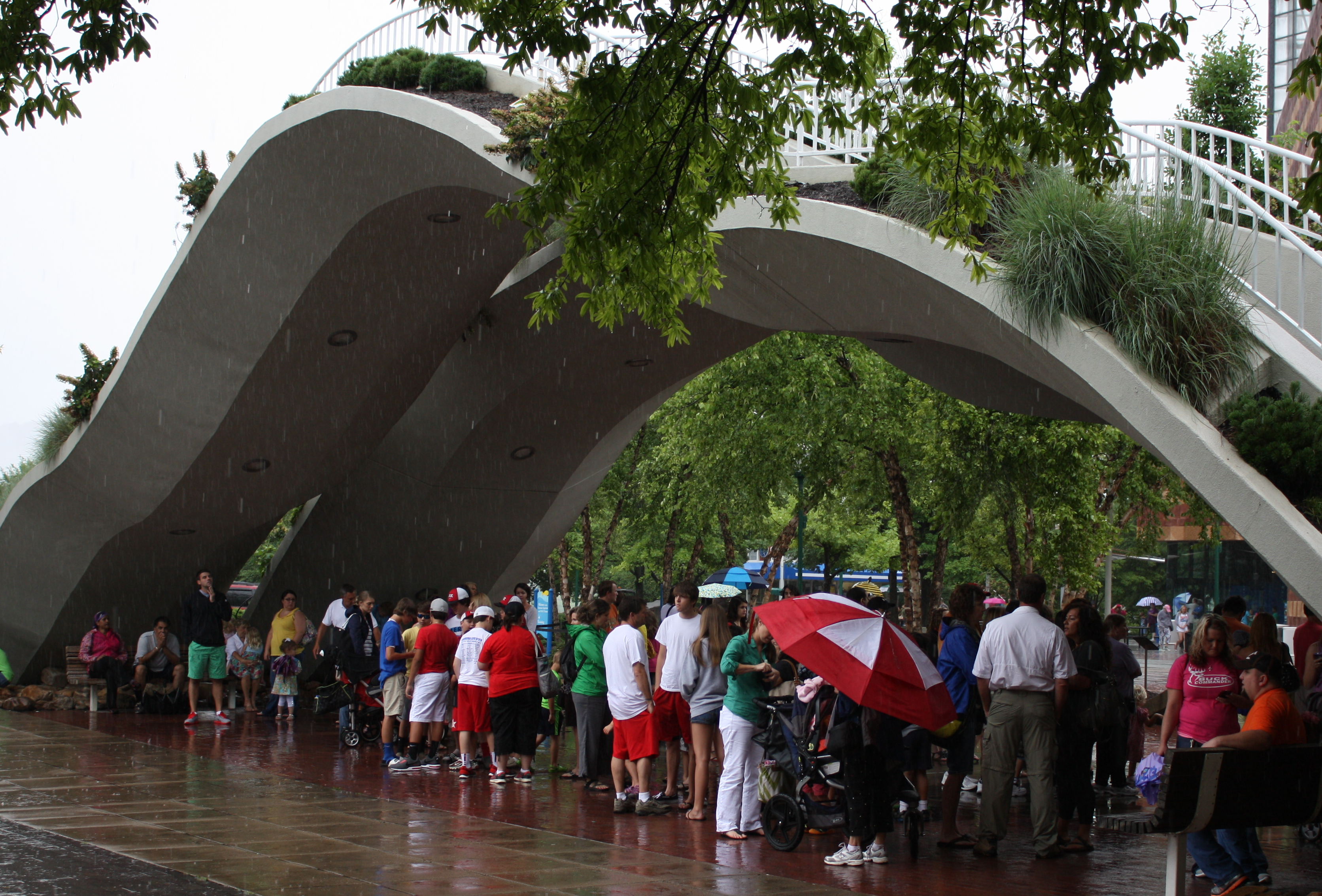
 People gather under the archway near the Aquarium to escape the rainy weather on Saturday.
THE OUTLOOKToday: 70 percent chance of rain during the day decreasing to 40 percent at night. High 79 degrees.Monday: Sunshine, high 89.Rest of the week: Highs in the upper 80s with a chance of thunderstorms.Source: National Weather Service, WRCBBY THE NUMBERSDaily rainfall: July 1: .34 inches; July 2: .52 inches; July 3: .05 inches; July 4: .83 inches; July 5: .33 inches; July 6: .32 inches (partial report)Temperatures: Average normal high 90; average normal low 70Precipitation: July average, 4.7 inches; July to date, 2.39 inches. For the year, we're more than 13 inches above normal.Source: National Weather Service, WRCB
A year ago we were trying to get out of the heat.
For the past week, we've been trying to get out of the rain.
July 2012 began with an all-time high of 107 degrees followed by three more 100-degree days by July 6.
This year, an unusual weather pattern, cloudy skies and a week of rain have kept temperatures far below what is expected for July. Highs have reached only the upper 70s, 10 to 15 degrees below normal. Saturday's high was 77.
Meanwhile, Chattanooga has received more than 2 inches of rain that put a damper on Fourth of July celebrations, canceled outdoor activities and had people snapping up whatever they could to keep the raindrops from falling on their heads.
Laura Kroeger at the Tennessee Aquarium gift shop said Saturday that her shop had sold out of ponchos and umbrellas and made an unusual order for a Sunday delivery from the company's warehouse.
No major problems had been reported from the rain, though officials in Whitfield County and elsewhere in North Georgia reported minor road closings Saturday and the ground was so saturated that trees toppled in Hixson and Red Bank.
Much of the Chattanooga area remained under a flood advisory Saturday night.
Elsewhere, 11 people had to be rescued Saturday when they got stranded on a rapidly rising Little River near Knoxville, and an eight-foot sinkhole blamed on the rain opened up in Bristol. Parts of Middle Tennessee, including Carthage and Woodbury, had recorded four-day rainfall totals exceeding 8 inches by late Saturday morning, The Tennessean reported.
WRCB-TV Chief Meteorologist Paul Barys said the wide deviation from our typical temperatures and rainfall is unusual but part of nature's balance.
"Mother Nature always tries to balance itself out," Barys said. The Southeast is seeing a sort of opposite reflection of what is going on out West, he said.
"This situation, this heat wave out west is creating a cold spell for us," he said.
Triple-digit heat plagued much of the Southwest for days, with Phoenix baking at 119 degrees a week ago.
According to Barys, the extreme arid heat in the West is creating a heat bubble that is redirecting the course of the jet stream. Our influx of rain stems from a low-pressure system parked over the central continental U.S. and moisture brought across the region by the dipping jet stream, which is flowing from the Northwest, dips toward the Gulf of Mexico and shoots northeast toward Maine.
Because of that redirection, this area is getting weather normally associated with spring and early summer, Barys said, not July.
The Associated Press contributed to this report.
Contact staff writer Alex Green at agreen@timesfreepress.com or 423-757-6731.